
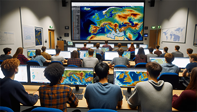
The Geospatial Education and Tech Innovation Space is designed to be a resource for teaching and learning with Geographic Information Systems and immersive technologies. This space is provided to share widely with other K-16 educators project artifacts such as photos, 360 images/scans, and story map presentations along with technical documentation on how these artifacts were created.